Last year Fulcrum rolled out a new service named Community. They describe it as a, "no cost, short term crowdsourced data collection solution for qualified humanitarian projects." It works like Fulcrum, but you need to apply for a license. The application form is short and is right on the Community home page. In the application you need to describe your purpose and how long you will be collecting data. You also need to provide a project description. If approved you can invite any number of data collectors via email to share your App (data collection form). It is generally aimed at humanitarian agencies, non-profits, or government agencies. They restrict commercial use of this service. We used this last fall during King Tide data collection in Miami and it was a big success. In fact there are four main categories highlighted on the Fulcrum Community page: Hurricane, Tornado, Flood and Fire. If you click on Flood, the King Tide project is the first in the list. Clicking on it brings up a map with the data collected.
 One caveat is that the data collected falls into the public domain and can be downloaded freely by anyone. This is possible because the data are anonymized, meaning any private information is scrubbed. The data remain available for viewing and download after the event ends.
 It won't be appropriate unless there is some sort of disaster relief or environmental issue that demands it, but it is another tool to keep in your Community Health Maps toolkit!
CHM Has a Busy Fall with Workshops and Storms!
We had a busy fall giving three workshops in September and October. First Community Health Maps traveled to Spokane Washington to conduct a half day technical workshop at the National Tribal Forum for Excellence in Community Health Practice.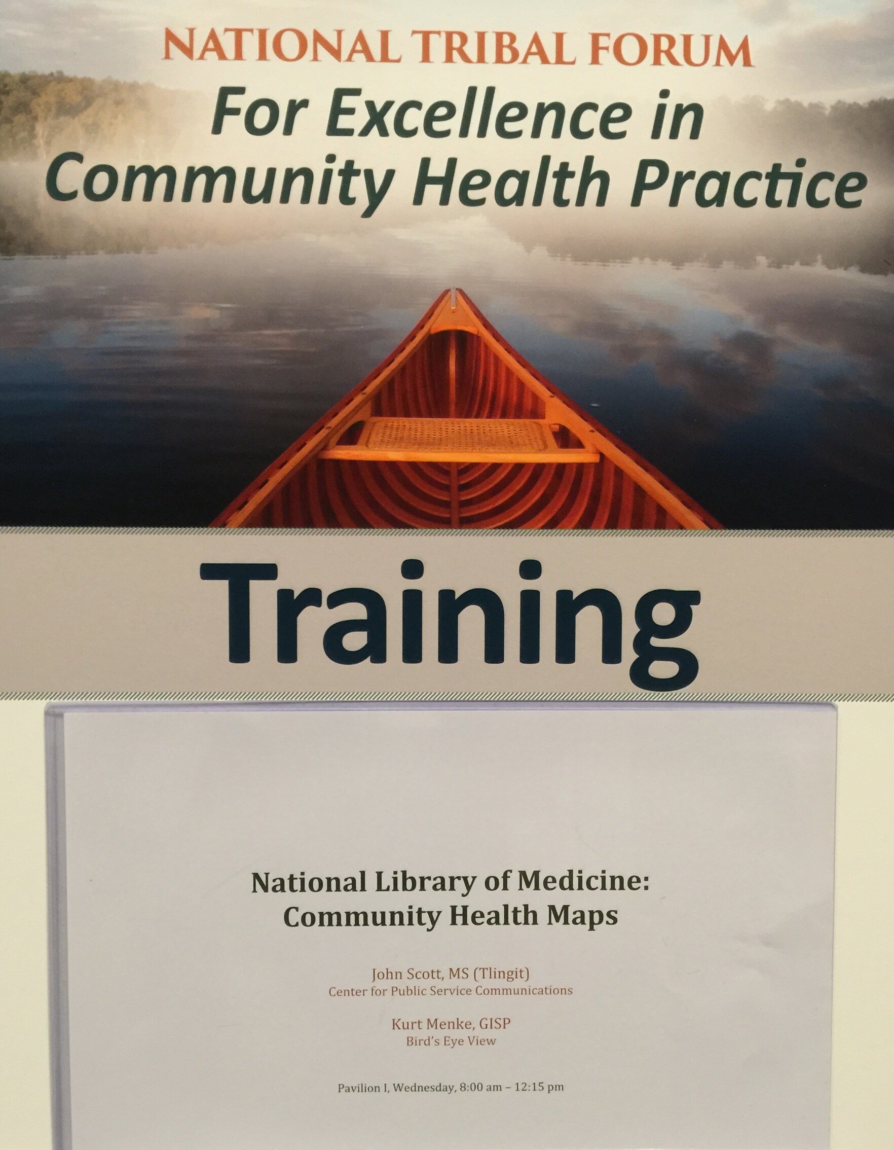 This event was organized by the Northwest Portland Area Indian Health Board and supported by the Robert Wood Johnson Foundation. We weren't certain who or how many would attend, and I expect attendees weren't entirely sure what Community Health Mapping was all about either. However, it turned out to be a very engaged group representing tribes from many regions of the country. Within a few hours everyone was able to:
- Create a field data collection form in Fulcrum
- Collect some data around the conference center on their smartphones/tablets
- Make a map of their data in Carto
- Learn how to bring the data into QGIS
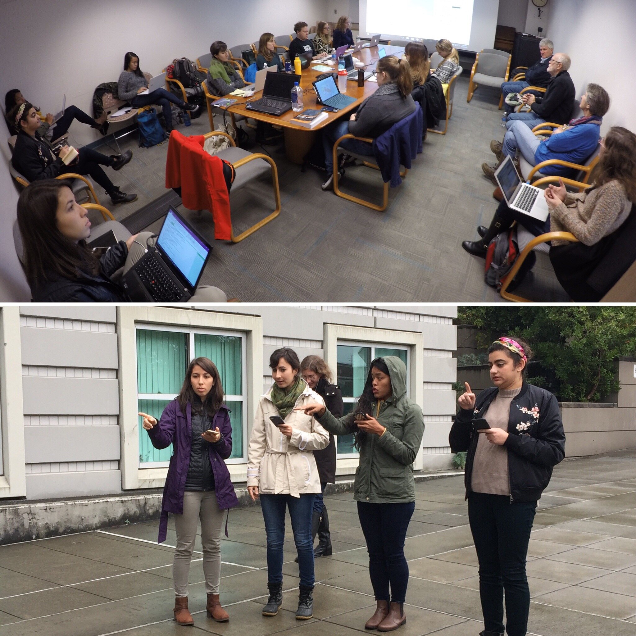
This was a typical CHM workshop with most never having done any mapping work before. As such it was a very empowering experience for the participants to learn how to use this technology to map their community in just a few short hours.From there we traveled to Honolulu, Hawai'i to give a workshop organized by Papa Ola Lokahi. There were two hurricanes (Lester and Madeline) heading towards the islands. Fortunately they both veered off and didn't cause any damage or disruptions! The attendees came with a plethora of ideas on how mapping could fit into their work including:A) tracking scholarship recipients of the Native Hawaiian Health Scholarships program,B) supporting the Native Hawaiian Cancer Network,C) mapping Dr. Ben Young’s research on historical tracking of Native Hawaiian Health professionals,D) mapping Native Hawaiian Homelands to provide resource data to providers and community members, andE) use the CHM "train the trainer" model to increase ongoing trainings for service providers including community health outreach workers and patient community navigators in Hawai'i.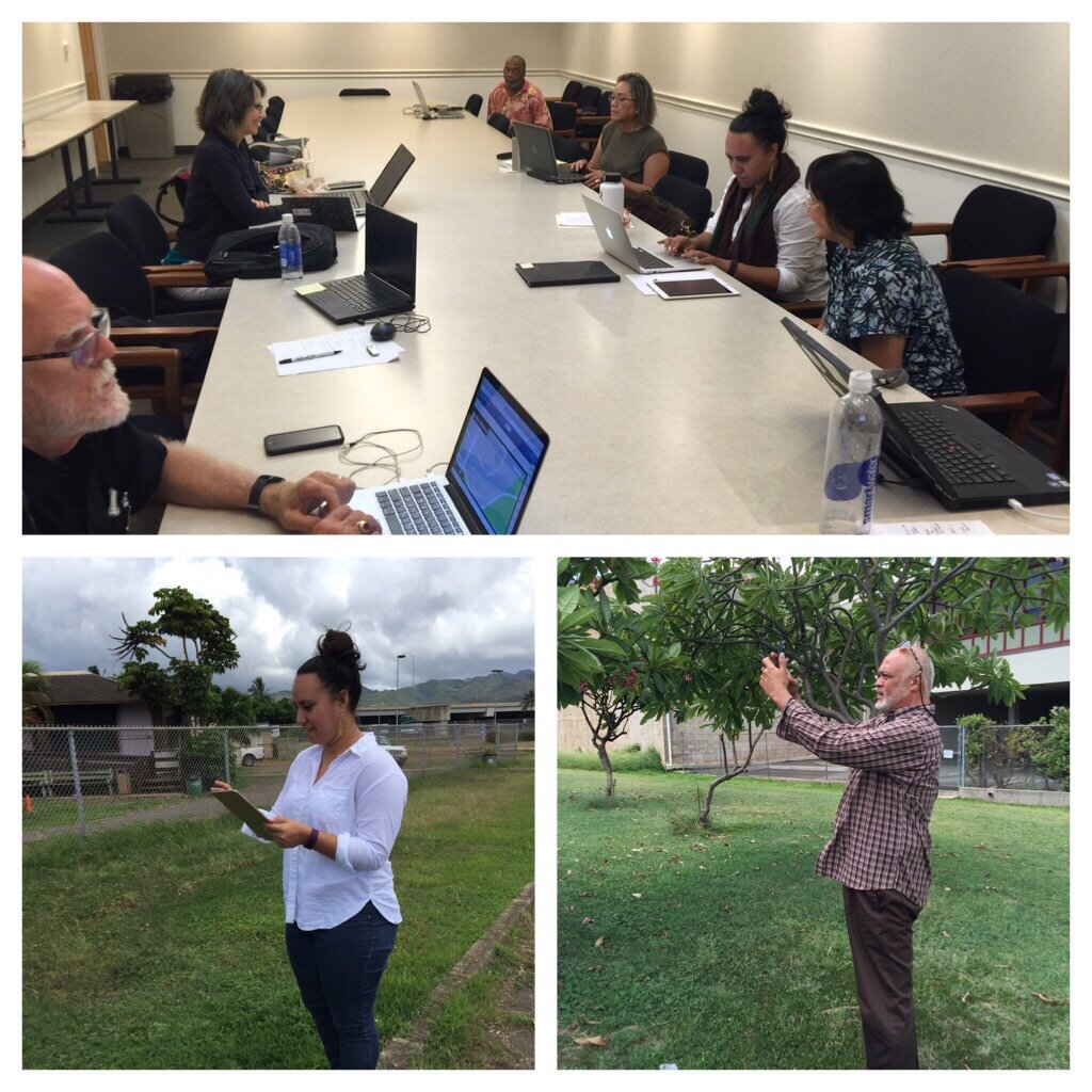 After a brief break we headed to Seattle, Washington, again there were two separate storms including, the remnants of Typhoon Songda, bearing down on the region threatening to disrupt power and services! Again fortunately the storms didn't make a direct hit on the area and the workshop proceeded on schedule.We went to train students in the capstone course of the Community Oriented Public Health Practice Program at the University of Washington. This is our second year supporting this program. The first year was a huge success with two students attending the APTR Conference and presenting their work.Like last year we had a full house with students eager to learn about community mapping. Both first year and second year students were in attendance. Several second year students will submit proposals for consideration, to receive a stipend and support for using Community Health Maps in their capstone projects. Jamie Smeland is the first of the group to be awarded the stipend for her capstone project entitled, "Honoring the Collective Wisdom: Documenting a Cross-Racial and Intergenerational Movement to Shift Power to Youth and Parent Leaders to Improve Educational and Health Outcomes for Students of Color in South Seattle & South King County." We look forward to working with these students in the coming months.
 In the near future we will be offering an updated set of Community Health Mapping labs and a platform for CHM webinars. Stay tuned! In the meantime if you are interested in Community Health Maps and/or receiving CHM training contact John Scott (jcscott at cpsc.com) for more details.
Community Health Maps Conducts a Training in the South Carolina Lowcountry
Recently Kurt Menke headed to Charleston, South Carolina to train several groups how to map their communities. This region is also known as the 'lowcountry' due to the flat, low elevation geography. The training was hosted by the Medical University of South Carolina (MUSC) and included people from Communities in Schools - Charleston (CISC) and the MUSC College of Nursing.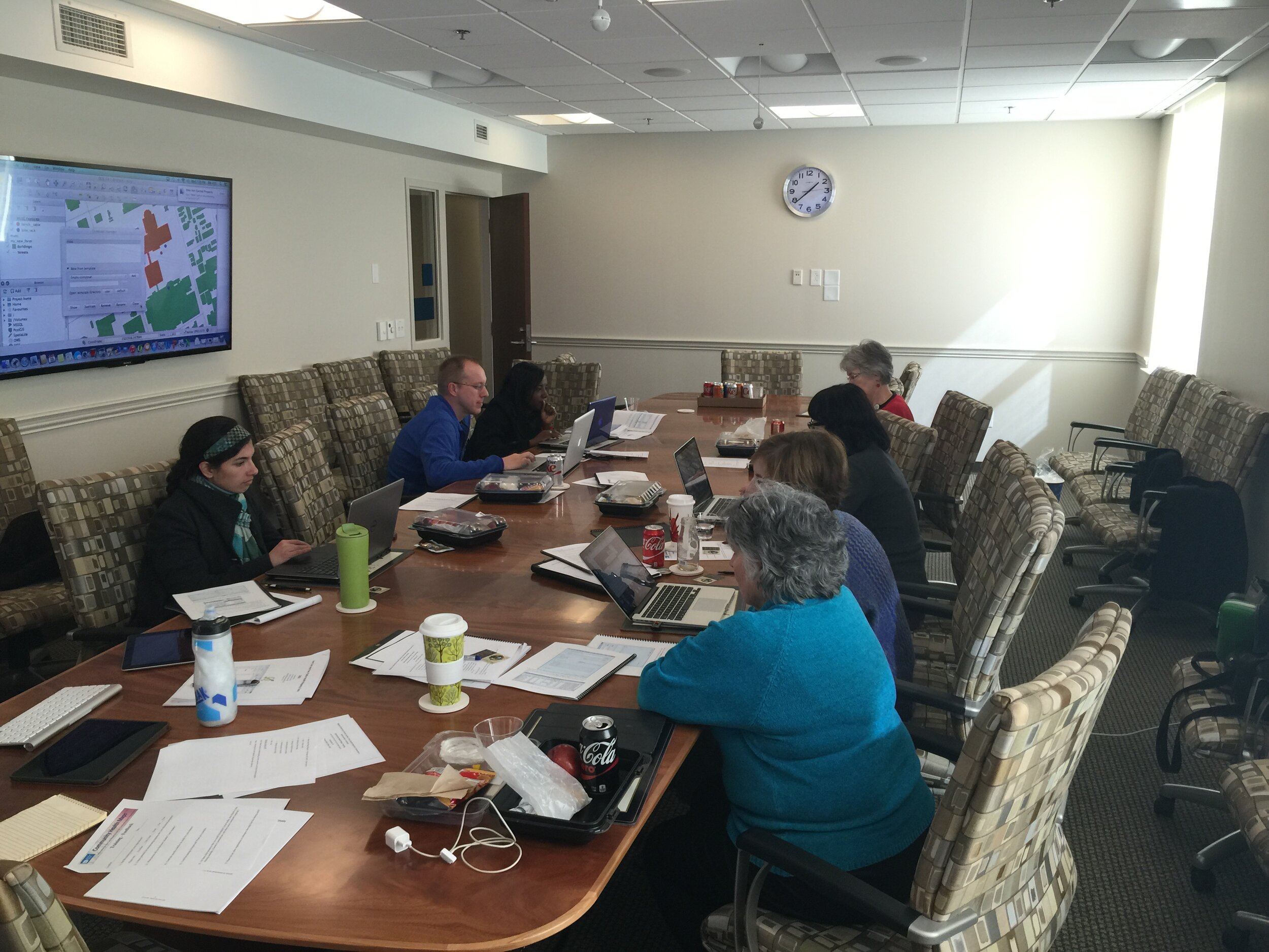 First everyone learned how collect GPS field data with iPads. For this we used a new app named iForm. This app was used in lieu of EPI Collect, which no longer supported on iOS. (The next blog post will cover iForm in more detail.) iForm is an app very similar to the Android app ODK Collect, allowing a custom data collection form to be developed. To practice we collected bike rack locations and seating areas around the MUSC campus. The afternoon was spent working with everyone's data. GPS data points were brought into QGIS and shown against some local Charleston GIS data layers.
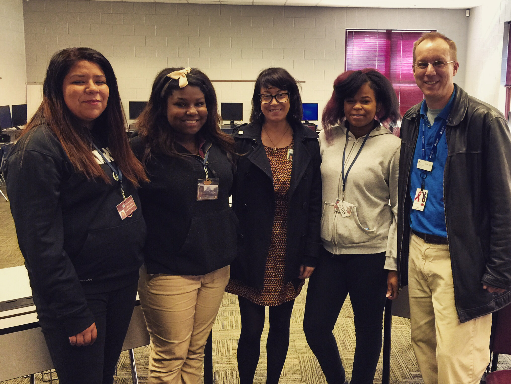
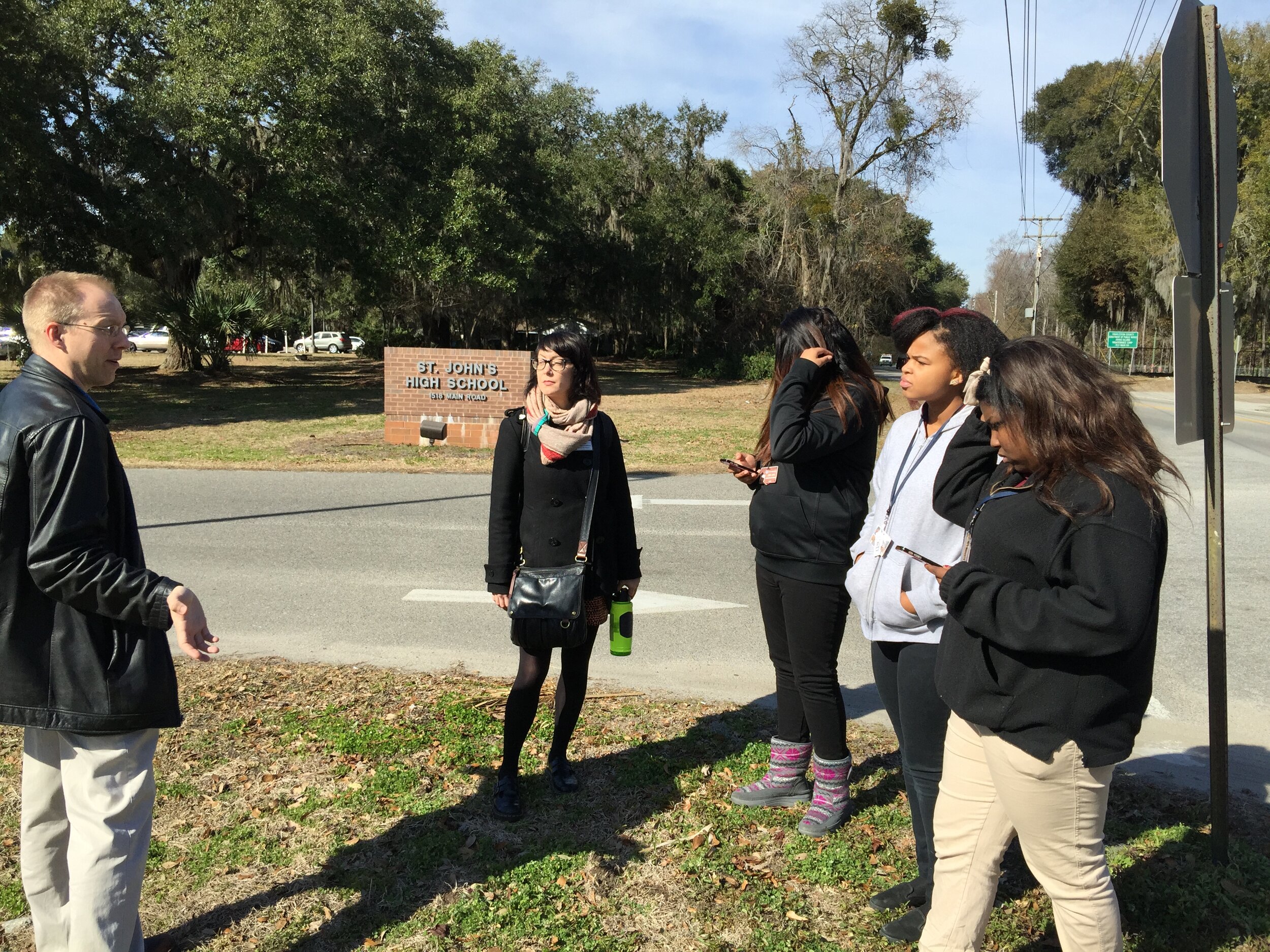
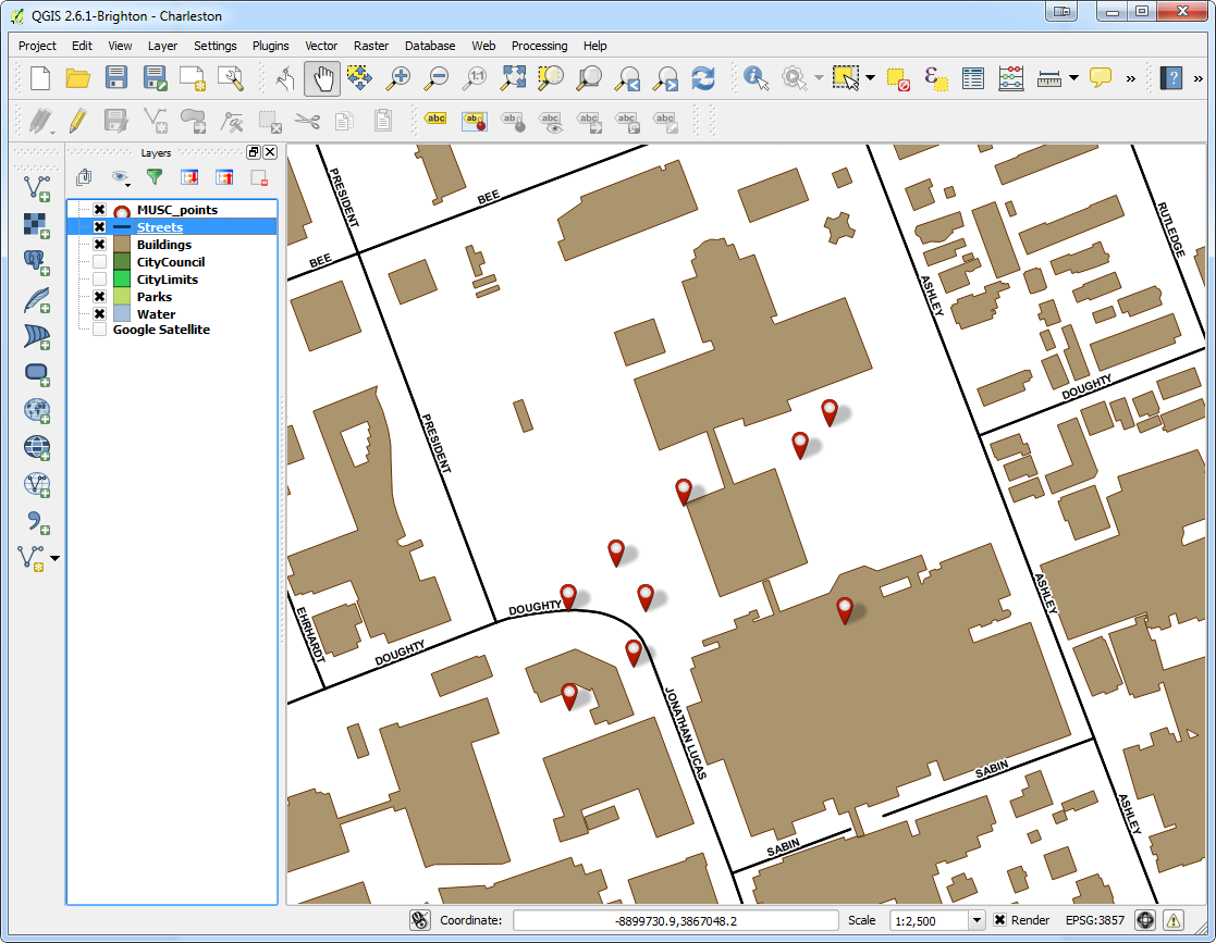 The points were also uploaded to CartoDB. CartoDB is another new component of the Community Health Mapping workflow. It has become more intuitive than GIS Cloud and worked really well. (Note: There will be a post on using CartoDB soon too.)The following day I visited CISC's Derek Toth and three of his students at St. John's High School on John's Island, SC. Over a working lunch Mr. Toth showed students how easy it is to collect GPS points with their iPhones. We collecting several points while walking around the campus.
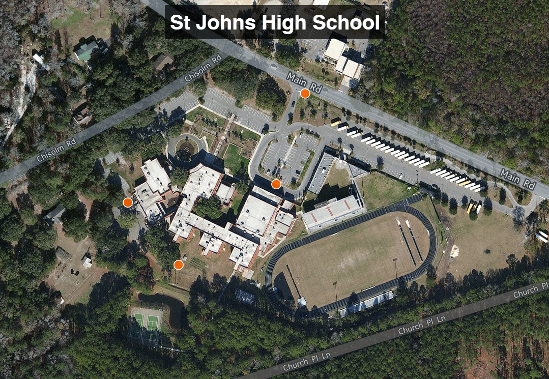
 Afterwards we went back inside and showed them how to upload the points into CartoDB and make a map. The figure below shows the results of 45 minutes worth of work! Click on the map to open the live version.
 This spring these three juniors will be leading the charge to map their island! They will be presenting their work to the National Library of Medicine later this spring. I look forward to seeing their work!